Geospatial Services
Smart GIS Solutions for Surveying, Mapping & Geo-Engineering
Our services
We provide specialized Geographic Information System (GIS) solutions that bring precision, efficiency, and clarity to your projects.
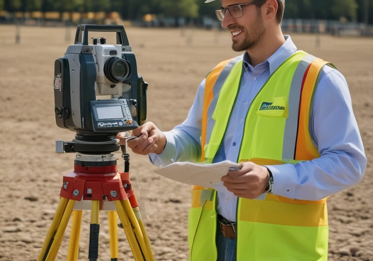
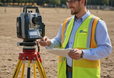
Surveying
We deliver high-accuracy land and property surveys using modern GPS and total station equipment. Our work ensures reliable boundaries, topographic data, and measurements that support engineering, construction, and development planning.
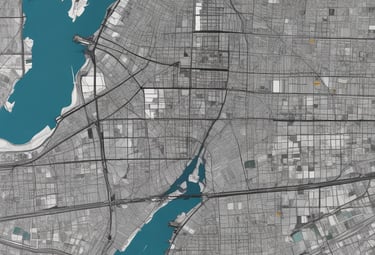
Mapping
Our team produces detailed maps for urban planning, infrastructure, utilities, and environmental monitoring. By combining satellite imagery, aerial data, and field surveys, we create maps that are accurate, clear, and practical for decision-making.
We design and implement postal code and smart addressing systems that improve logistics, delivery, and emergency response. By assigning unique digital addresses to every location, we make navigation and services faster, more reliable, and more accessible.
Geo-Engineering


Contact
+964 750 818 8885
© 2025. All rights reserved.